Hiking in Bryce Canyon National Park
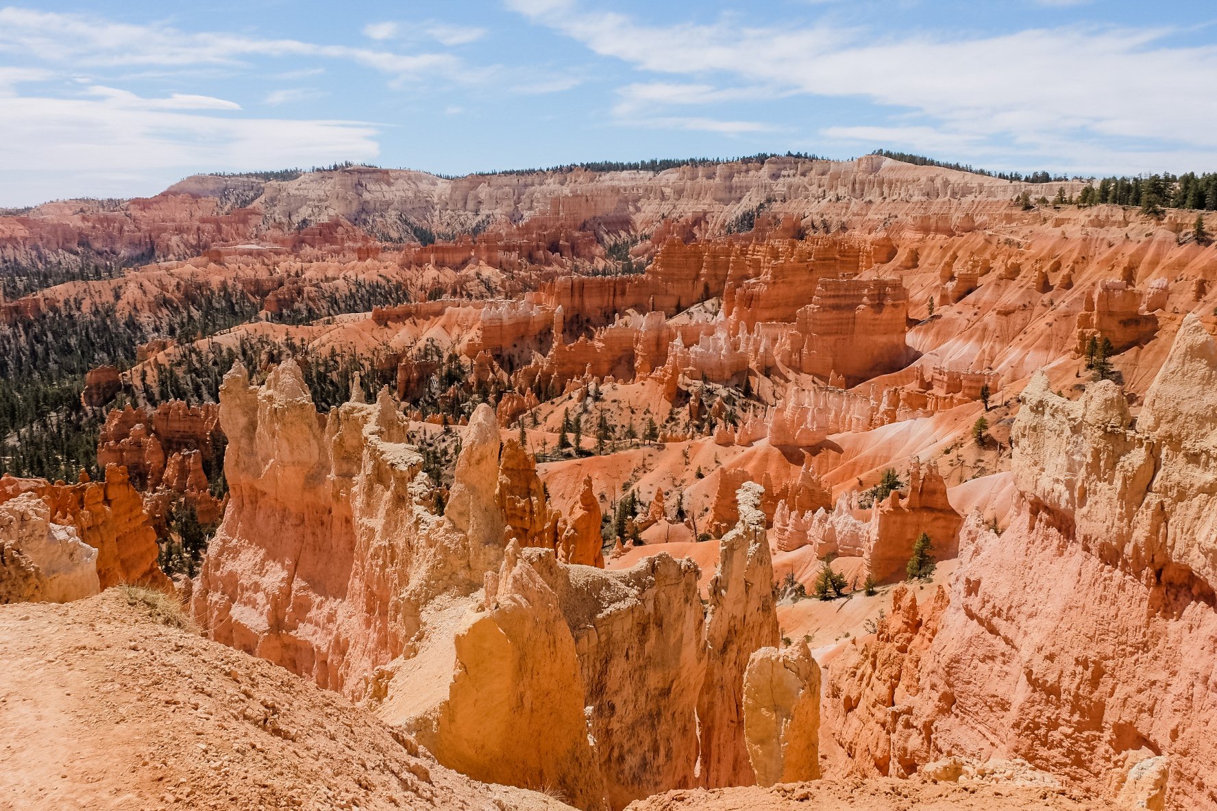
Bryce Canyon National Park was established in Utah in 1928 and is famous for its magical hoodoos, which are irregular rock columns. I visited the park in April as part of a tour and had the chance to hike among the hoodoos and admire the majestic views.

First, we headed to Bryce Point for amazing views of the entire amphitheater. This is a great spot to take photos.

We begin our main hike at Sunrise Point on the Queen’s Garden Trail, which is full of gorgeous views of hoodoos as you make your way down into the canyon.

After about a mile, you come to the area with a hoodoo named after Queen Victoria. You can see the resemblance of a queen carved out of the rock. We stopped in a shady spot here and had a picnic lunch.

After lunch, we continued on through a fairly flat section of the canyon, making our way to the Navajo Loop Trail. There, we began our climb back up toward Sunset Point.
The last section is called Wall Street, which is a series of switchbacks that leads you all the way back to the top and to Sunset Point.

The total distance for this hike from Sunrise Point to Sunset Point is around 3.2 miles with 600 feet of elevation gain.

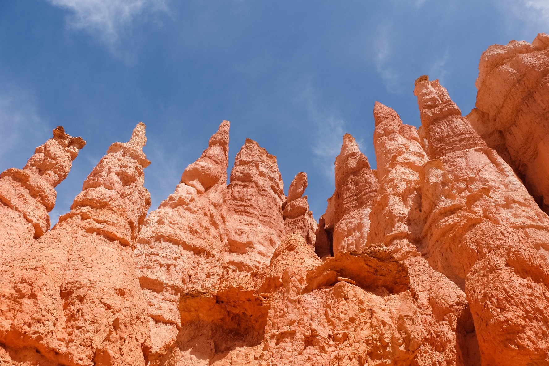
Bryce Canyon is truly a landscape like no other. You feel like you have been transported to a different planet when walking among the hoodoos.

Have you visited Bryce Canyon? What is your favorite trail to hike there? Also check out Zion National Park in Utah and Grand Canyon National Park in Arizona.
